

OpenStreetMap · distance & area
Distance & boundary measure tool
Search a UK postcode, then measure lengths between points or close a shape to calculate plot area — with each side listed in a useful, copyable table.
Address search uses the shared daily tool quota. Drawing lengths and areas on the map is free and unlimited.
Quick security check
Tick the box — your search will run automatically once verified.
Free account: used · left of (24h, all lookup tools) · more after
Guest: used · left of (24h, all lookup tools) · more after · Create a free account for 10 searches / day (vs 3 as a guest).
Daily search limit reached
You’ve used all free-account searches for this 24-hour window across our data lookup tools (EPC, flood, crime, listed buildings, schools, supermarkets, transport, broadband, sold prices, council tax, overseas ownership, UK company ownership, distressed properties, distance & boundary). Deal and renovation calculators stay free.
More searches available after .
Please try again in up to 24 hours.
Guest search limit reached
You’ve used all guest searches for this 24-hour window. A free account gets 10 searches / day — still free.
More guest searches available after .
Please try again in up to 24 hours, or create a free account for a higher limit.
Select Length or Area on the map, turn on the ruler, then click points. Esc finishes the current drawing.
Measurement log
No measurements yet — finish a drawing on the map to add it here. Click a row to expand segment lengths.
Click a row to expand each side length. Closing a shape (click the green start point) records area automatically.
| # | Type | Segments | Total length | Area | ||
|---|---|---|---|---|---|---|
| Totals | — | — | ||||
Map: OpenStreetMap · Search: Nominatim · Measure: Leaflet.PolylineMeasure · Approximate only — not a survey.
What this distance & boundary tool shows
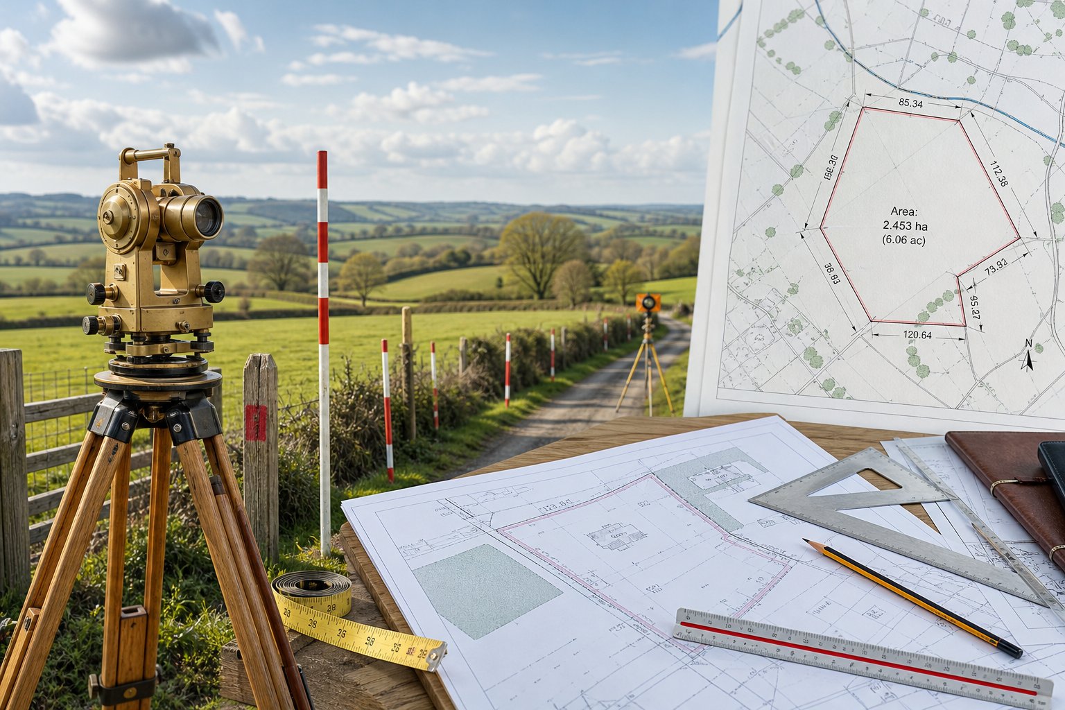
Find a UK postcode or address on OpenStreetMap, then measure open lengths between places or close a polygon to calculate plot area and perimeter. Segment distances appear in a table you can expand and copy — useful for property boundaries, garden plots and rough site planning.
Length between points
Click a path on the map to measure distance from one place to another — road frontage, garden depth or building to boundary.
Closed plot area
Trace corners and close on the green start point to record perimeter and area for a plot or boundary outline.
Segment measurement table
Expand each log row for side-by-side distances (P1→P2, P2→P3, …). Copy or clear the log when you are done.
Buying & planning checks
Use it for a quick sense of plot size before viewings or sketches — then confirm with title plans and a surveyor where it matters.
How to measure distance and plot area
- Enter a postcode or street address and click Find Address (counts toward your shared daily search quota).
- On the map, choose Length (open distances) or Area (closed plot).
- Turn on the ruler, then click points on the map — drawing lengths and areas is free and does not use quota.
- Length: click the last point or press Esc to finish.
- Area: click corners, then the green start point to close — perimeter and area are recorded. Closing a shape always measures area, even if Length was selected.
- In the log, click a row to expand each segment (P1→P2, P2→P3, …). Copy or clear as needed.
Address search shares the same daily quota as EPC, flood, crime and other lookup tools. Map drawing is unlimited. Approximate measurements for planning — not a survey.
Measuring the plot is a useful first check. For a full property report with sold prices, EPC, flood risk and crime, see homebuyerreport.co.uk.
Distance & boundary FAQ
How do I measure a property boundary or plot area online?
Search a UK postcode to centre the map, choose Length or Area, turn on the ruler, then click points. Close on the green start point for a plot — perimeter and area appear in the measurement table.
Does measuring on the map use my daily search quota?
Only finding an address or postcode uses quota. Drawing lengths and areas on the map is unlimited.
Is this tool a substitute for a land survey?
No. Measurements are approximate using OpenStreetMap for planning and due diligence. Commission a surveyor for conveyancing, disputes or formal plans.
What does the measurement log show?
Each measurement is a table row. Expand it for segment distances; closed shapes also show perimeter and area. Copy or clear the log whenever you need.
Map data © OpenStreetMap contributors (ODbL). Measurements are approximate for planning — not a legal boundary survey.